PM2.5 throughout the week
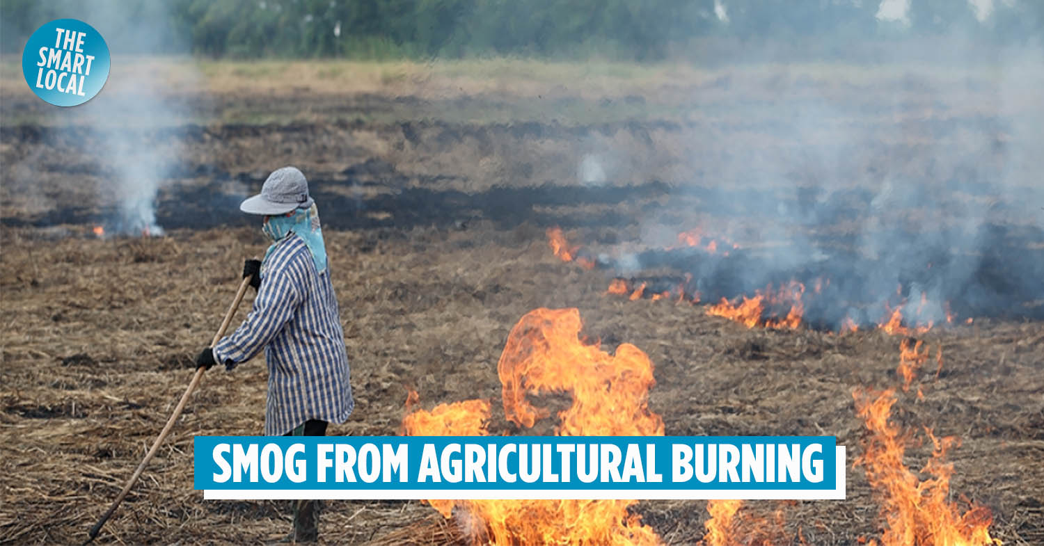
Farming is one of Thailand’s largest and oldest industries – we’ve been the number one exporter of rice since, like, forever. Another Thai tradition is crop burning, a practice where farmers ignite weeds and straw remnants to make space for new flora. The agricultural burning season has begun, and is about to unleash even more PM2.5 particles across the country.
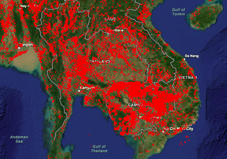
NASA satellite catches Thai fires
Agricultural burning occurs all over Thailand, except for most of the South. Because there is little to no enforcement of proper agricultural burning practices, ashes and other mites are scattered throughout the atmosphere. These iotas add to Thailand’s hazy air problems, as posted on The Thaiger.

Red dots that indicate fire on the map within 24 hours since January 17th 2021
Screenshot: firms.modaps
An image from a National Aeronautics and Space Administration (NASA) satellite shows fires have been spreading across Thailand since January 17th 2021 in Thailand. There are also documented fires around the Cambodian-Thai border.
Another reason to stay indoors
First, Covid-19 and now the haze. Staying indoors seems like a smart option for now to keep our health intact. Safety Covid-19 measures help us to curb the virus, but us commuters in the city can minimise the extra impact on air pollution by staying at home.
More on haze in Thailand:
- Bangkok Haze Gets Worse With Rise In PM2.5 Particles, Better Switch To Your N95s
- Bangkok’s PM2.5 Haze Level Surges Again, 50 Areas Reported Unsafe
- Thai Govt Advises People To Work From Home From 25-29 December To Reduce Air Pollution
- Chiang Mai University Students Make Their Own PM2.5 Face Masks To Cope With Wildfire Pollution
- Chiang Mai’s Skies Look Like An Inferno Due To Bushfires, Hazardous Pollution Levels In Northern Thailand
Featured image adapted from: humanlife.asia
Enjoying The Smart Local Thailand? Follow us on Facebook and Instagram for more stories like this.
